Uncategorized
Finding Success Saltwater Fly Fishing Species
Here we breakdown some key beginner questions when they're first starting out in saltwater fly fishing. We chat with expert fly fishing…
The app that finds more fish. The most detailed fishing map we could build, paired with real-time intel that tells you exactly where and when to fish.



Three things move an angler from staring at a map to standing in the right run at the right time. We built all three into one app.
The most detailed fishing map we could build: trout, warmwater, and coastal rivers, with the access details that get you on the water.
Explore the mapThe Fishability Index and feeding-window indicator read live flow and weather to help you time the trip.
See the intelConnect one-to-one with anglers as you plan trips across the country, or scout your own backyard.
Meet anglersTrout streams, warmwater, and coastal systems across all 50 states, with the access details that get you from the parking spot to the water.
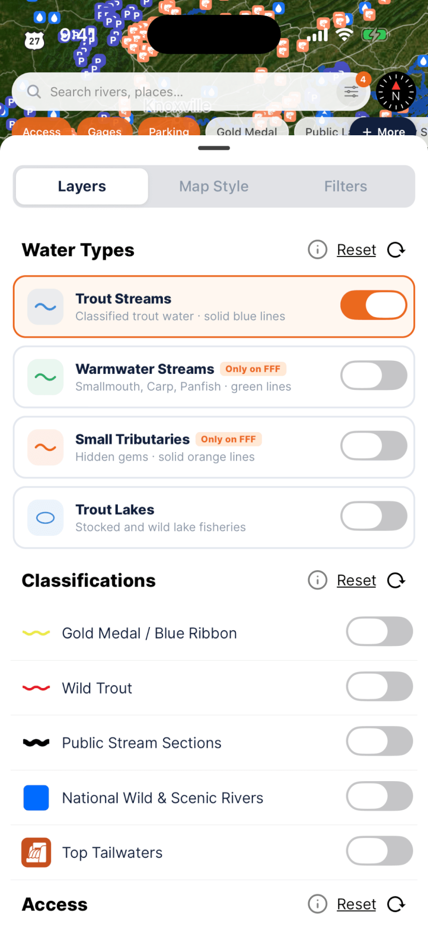
Free is already a full nationwide map. Pro goes deeper with the layers that show you how to reach the water: public land, access points, parking, and classifications.
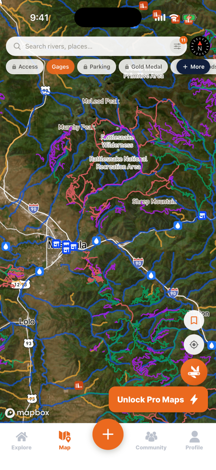
The full nationwide map.

Public land, access, parking, and more.
Scored on live conditions across the water near you, the moment you open the app.
Raw gauge data takes time and experience to read. We do that analyzing for you, an analysis far deeper than a flow chart, and hand back the straight answer: where the fishing is lining up to be best today.
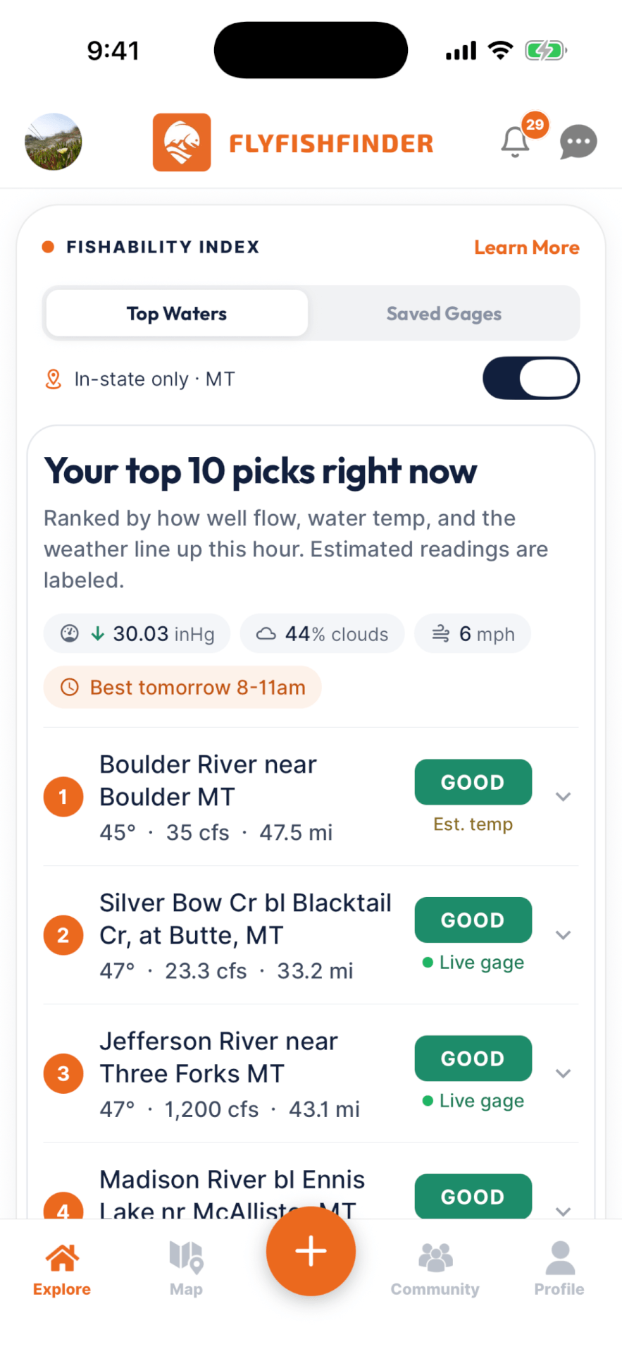
Fish respond to the sky as much as the water. We track barometric pressure trends, incoming precipitation, cloud cover, and temperature to call when they're likely to feed, and when to sleep in.

We map your home region so it's easier than ever to connect one to one, swap intel, ask questions, and plan trips together.
The access-point and easement layers helped me discover new areas I would have dismissed as inaccessible. It streamlines all my research for a new area into one place.
The best way to pull all the data you need to plan trips and find new water. It has quickly become the first app I open when I am headed somewhere new.
This app is working amazingly. I used another app before and bought their premium, but this is a much better app and way less confusing to use. I will forever be using it for future trips.

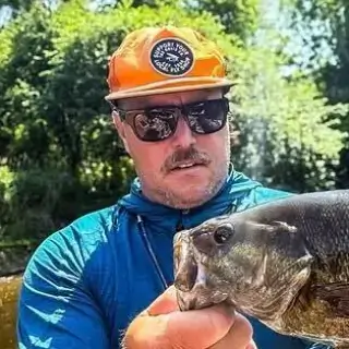


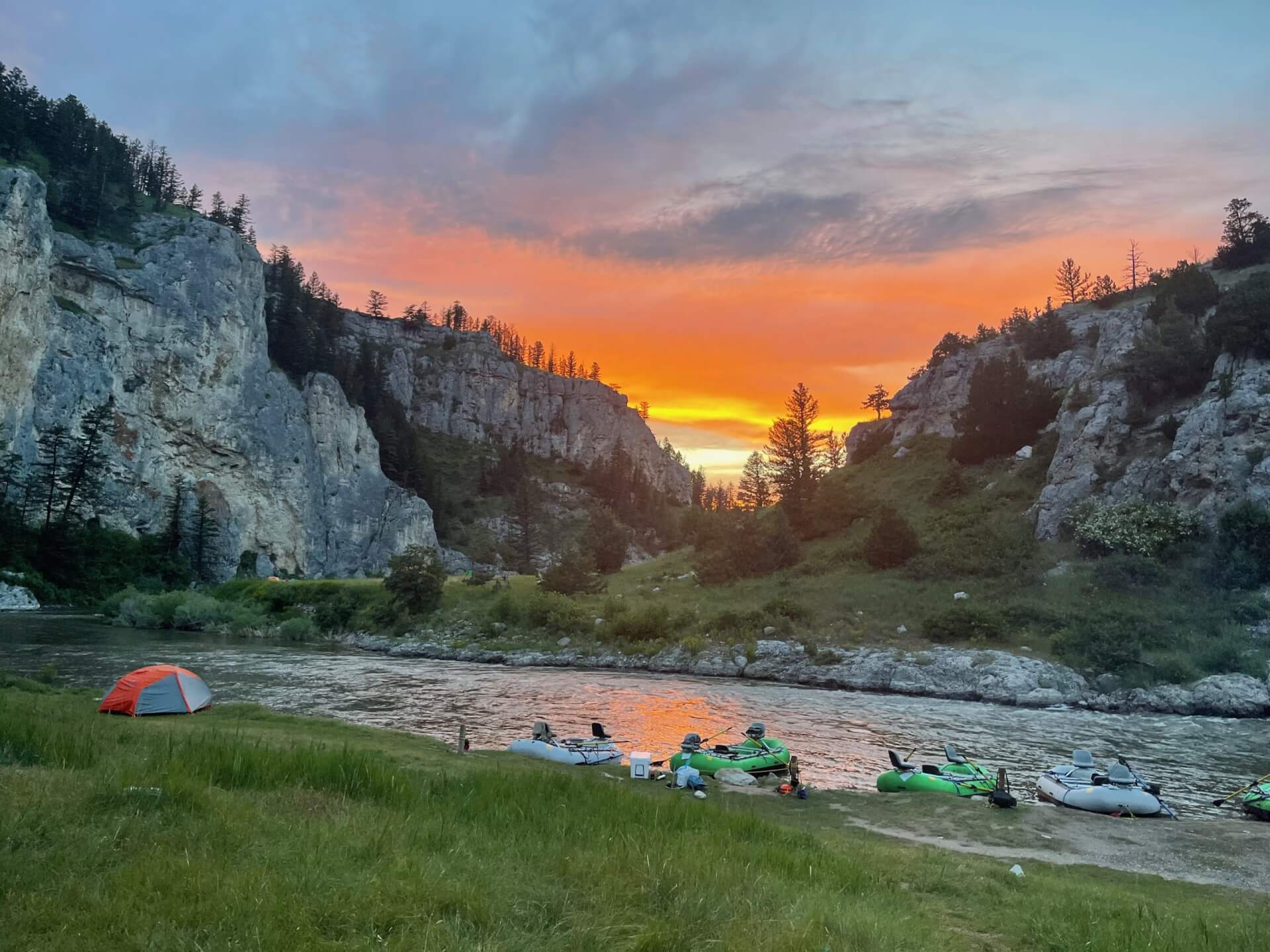
Photos from the FlyFishFinder community, out on the water and putting the app to work.


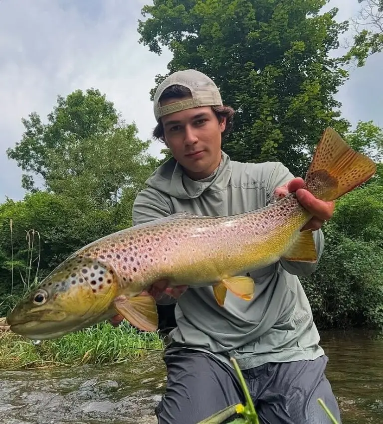

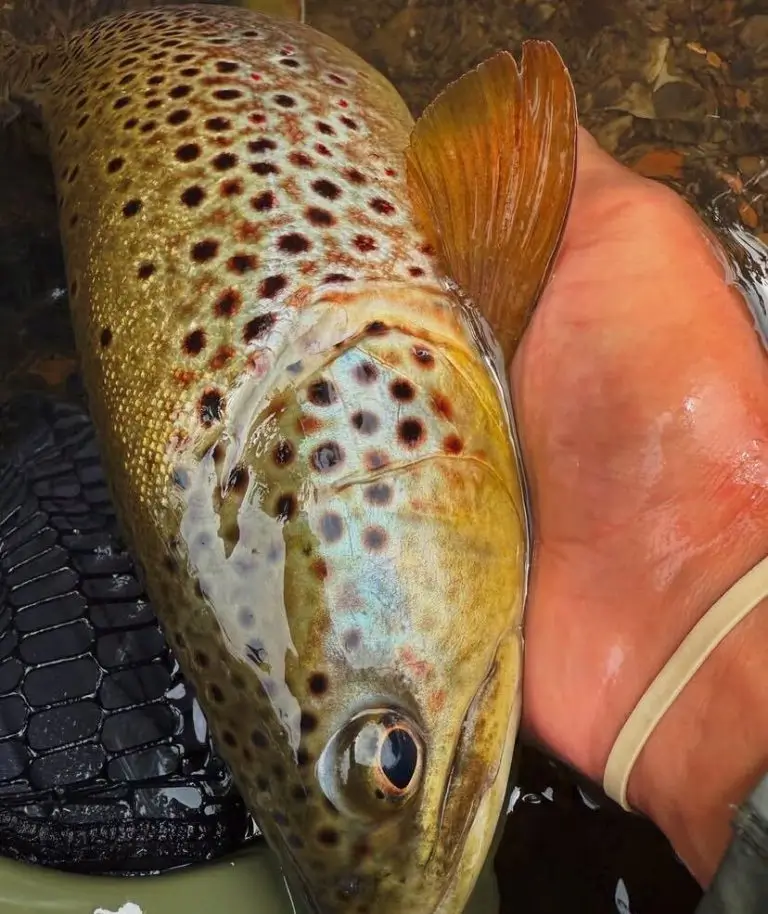


Guides, gear breakdowns, and hard-won intel from the FlyFishFinder Academy.
Here we breakdown some key beginner questions when they're first starting out in saltwater fly fishing. We chat with expert fly fishing…
In fly fishing, the “drift” refers to the way your fly travels on the water. A perfect drift mimics the natural movement…
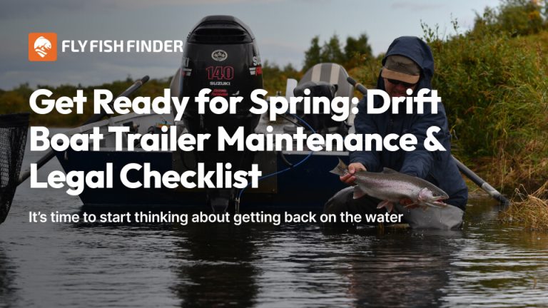
As winter loosens its grip and the days grow longer, it’s time to start thinking about getting back on the water. If…
Explore the map for free. Unlock the intelligence that finds fish with Pro.
Free
Get on the water
Pro
Everything, unlocked
Pressure trends and live flows for 11,000+ gages across the US. Free to download.
The whole map, read in real time, ranked for today. That's FlyFishFinder.