Greenbrier River
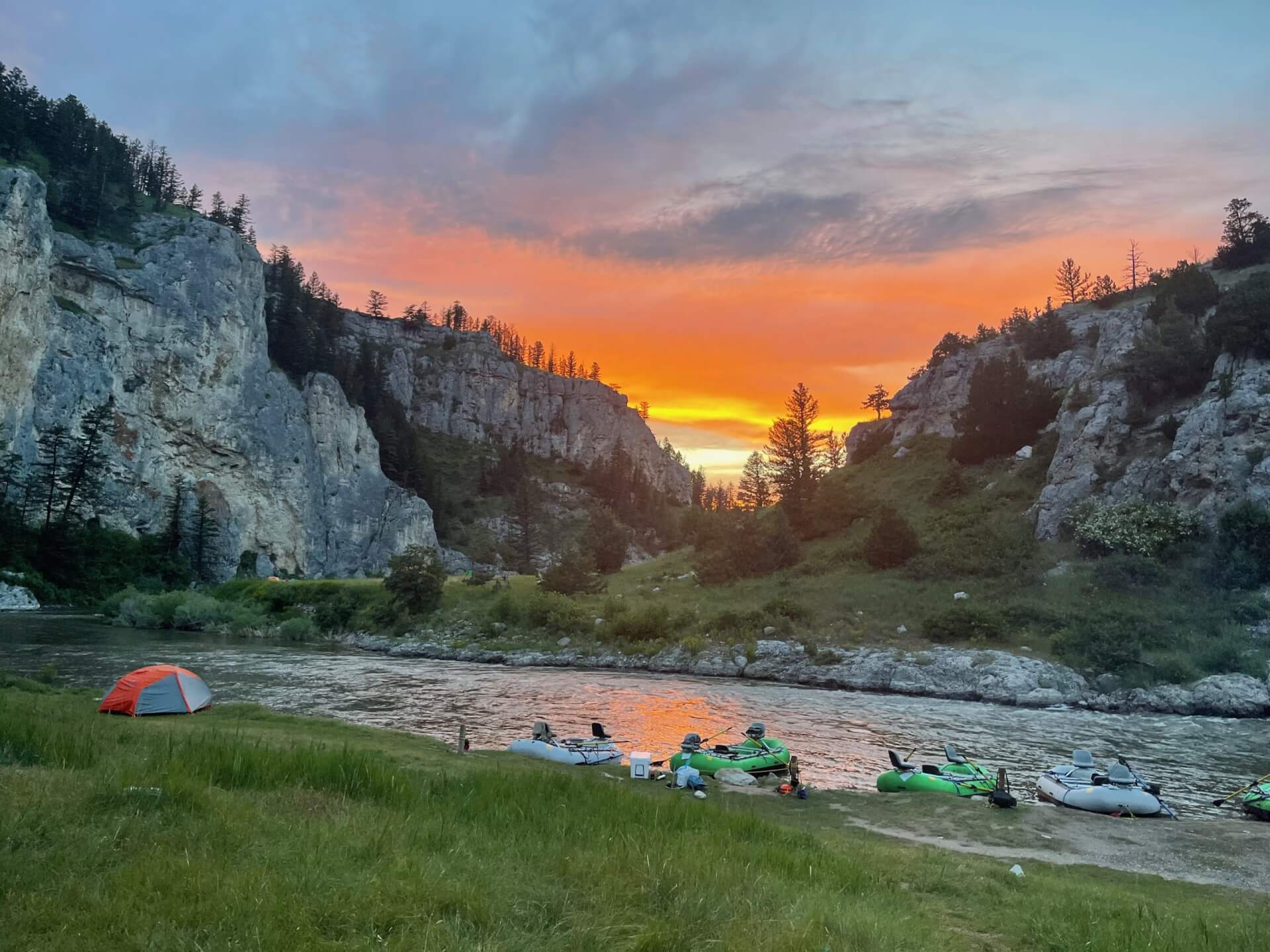
The Greenbrier River in West Virginia is a Gold Medal smallmouth float from Marlinton to Alderson with easy wade water along the trail.
- 196 miRiver length
- Mar–MayBest season
- 4Game fish
- 55Access points


 In the FlyFishFinder app
About the Greenbrier
The Greenbrier River runs through the mountains of eastern West Virginia, from Pocahontas County past Marlinton and on to Alderson and the New River near Hinton. The Greenbrier River Trail follows much of the upper river.
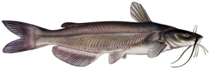
Smallmouth bass are the main fly rod fish. Rock bass, channel catfish and flathead catfish also live here. The river carries a Gold Medal designation. Fishing is best in the lower river, where the water is bigger and holds larger fish.
Floating is the best way to cover the water. The stretch from Fort Spring to Alderson has Class I and II rapids. Between Alderson and Hinton some sections are harder and need paddling skill. The upper river can run too low to float in summer, and wading is an option.
Check current water levels before you float. Check West Virginia's current regulations for rules and limits.
Greenbrier River at Renick, WV
Is the Greenbrier fishing today?
See today's top 10 rivers near you, free. Go Premium to score the Greenbrier, or any gage, on demand.
Nearby gages
- Anthony Creek near Anthony, WV7.0 mi away Not reporting USGS 03182700
- Marlin Run at Marlinton, WV18.8 mi away Not reporting USGS 03182050
- Jackson River below Gathright Dam near Hot Springs, VA19.6 mi away Not reporting USGS 02011800
- Knapp Creek near Marlinton, WV19.7 mi away Not reporting USGS 03181949
- Jackson River at Falling Spring, VA19.8 mi away Not reporting USGS 02012500
- Jackson River below Dunlap Creek at Covington, VA22.3 mi away Not reporting USGS 02013100
- Jackson River near Bacova, VA22.9 mi away Not reporting USGS 02011400
- Meadow River near Hines, WV23.1 mi away Not reporting USGS 03189863
No gages that close. Try a wider radius.
See every gage on the map and today's top 10 rivers in the free appData from the U.S. Geological Survey. Recent readings are provisional and may be revised.
Fish you'll catch
Tap a fish to see every West Virginia river that holds it.
Hatching in November
What's on the water in the Kanawha watershed this month, and the fly to match.
All 11 hatches this year
Light bars show the season and dark bars the peak. The ringed month is this month.
Tips for fishing the Greenbrier
-
Check the gauge
Water level decides whether you can float. Check it before you load the boat.
-
Float the lower river
The Fort Spring to Alderson stretch is popular for smallmouth and has good access.
-
Fish streamers and poppers
Smallmouth hit both. Fish the edges of ledges and boulders.
-
Wade the upper river
When it runs low in summer, wading near Marlinton is easier than floating.
-
Use the app for access
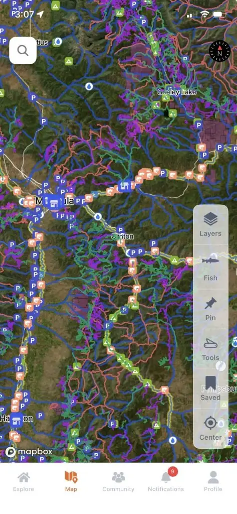
The FlyFishFinder app maps access points on the Greenbrier so you can plan put ins and take outs.
Every access point on the Greenbrier, in your pocket.
- 55 mapped access points, with parking and put-ins
- Today's Fishability score, so you fish the day that lines up
- 7-day flow and water-temp trends for every gauge on the river
Rivers near the Greenbrier
Greenbrier River FAQ
What is the best time to fly fish the Greenbrier River?
Late spring through fall is popular. Summer low water can limit floating in the upper river.
Where can I fish the Greenbrier River?
Access near Marlinton, Fort Spring and Alderson is popular, and the Greenbrier River Trail gives walk in options.
Can you float the Greenbrier River?
Yes. Most sections suit a canoe or kayak, but some stretches below Alderson have harder rapids.
What flies work on the Greenbrier River?
Streamers, poppers and crayfish patterns are favorites for smallmouth. Open the FlyFishFinder app to see what is hatching and working today.
What fish are in the Greenbrier River?
Smallmouth bass, rock bass, channel catfish and flathead catfish live here.
Are there special rules on the Greenbrier River?
State rules and limits apply. Check West Virginia's current regulations.