Every river,
read for you.
FlyFishFinder maps the country's fishable water and reads the conditions on it, so you spend less time guessing and more time on fish. Far deeper than a flow chart, and far more than trout.
Built for everywhere you'd cast a line
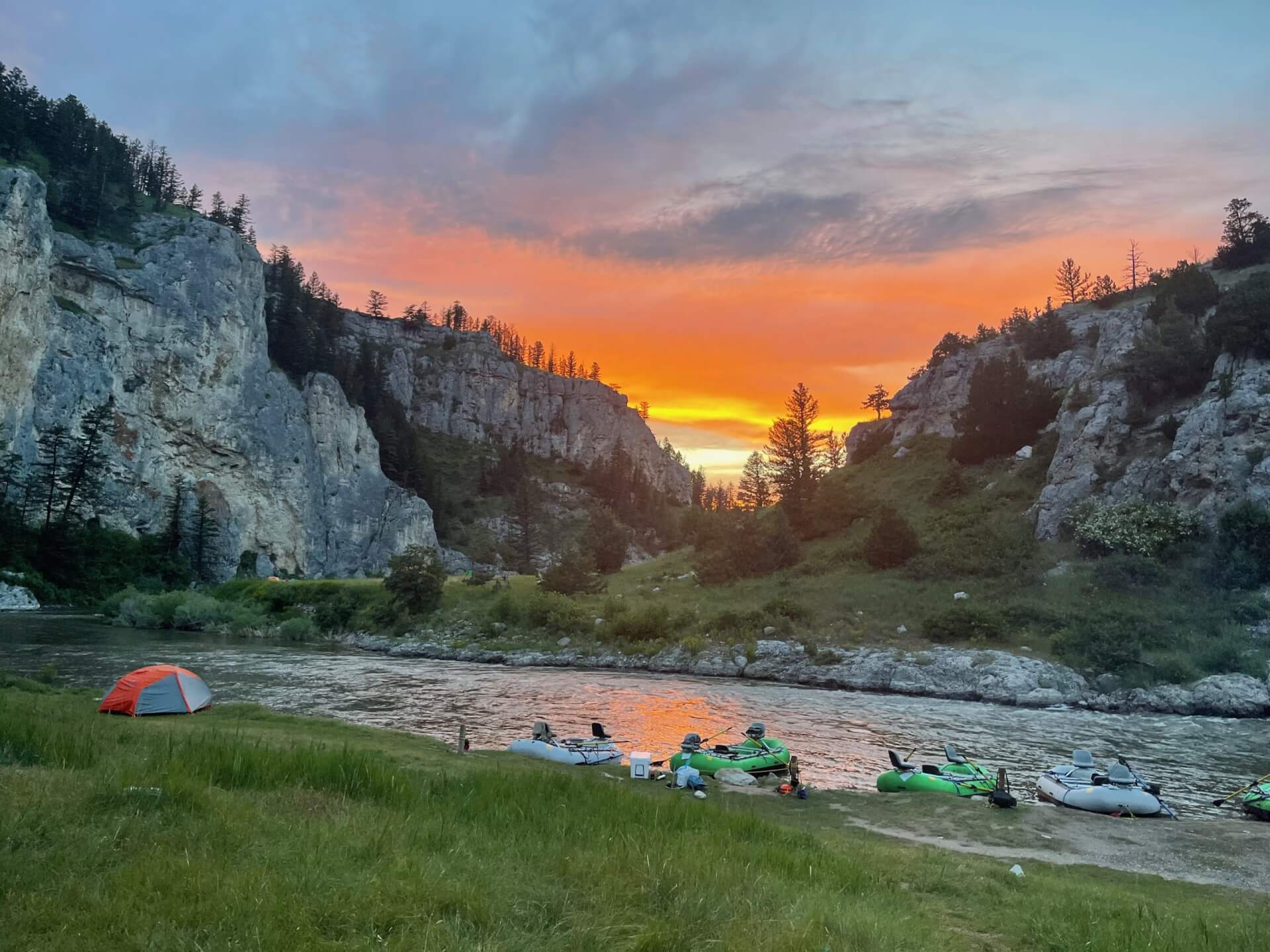
Far more than trout. FlyFishFinder maps trout streams, warmwater rivers, and coastal waterways, then layers on the access most maps leave out, from public lands and easements to boat ramps, trailheads, bridge access, campsites, and Street View, so you know how to reach the water once you find it.
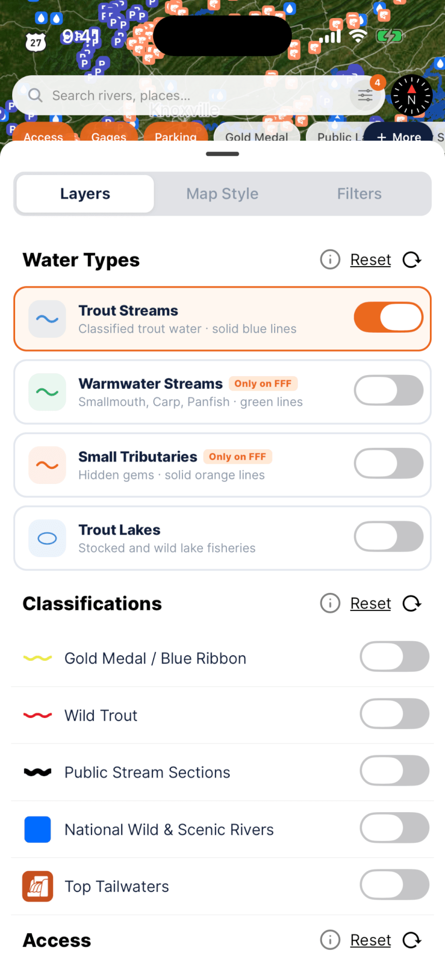
Every layer, one tap away
A cleaner map interface puts the water first. Turn on the layers that matter, filter to the water you want, and open any gage for the full picture without leaving the map.
30+ layers and filters are grouped by water type, classification, access, utility data, and public lands, with easements surfaced right on the map. The redesigned gage sheet puts live CFS, water temp, gage height, and trend in one place.
Three questions, answered before you go
Each signal builds on the last, until the app tells you where and when the fishing is best.
Is it worth the drive?
Current and forecast weather is pulled to every gage on your map, and new weather alerts flag hazards right at the gage, so you see trouble before you load the truck.

Are the fish moving, and when?
The Bite Forecast weighs barometric pressure and its trend, wind, precipitation, and temperature, and turns them into a plain verdict on the day plus the hours worth fishing, surfacing weather hazards along the way.

Where should I go today?
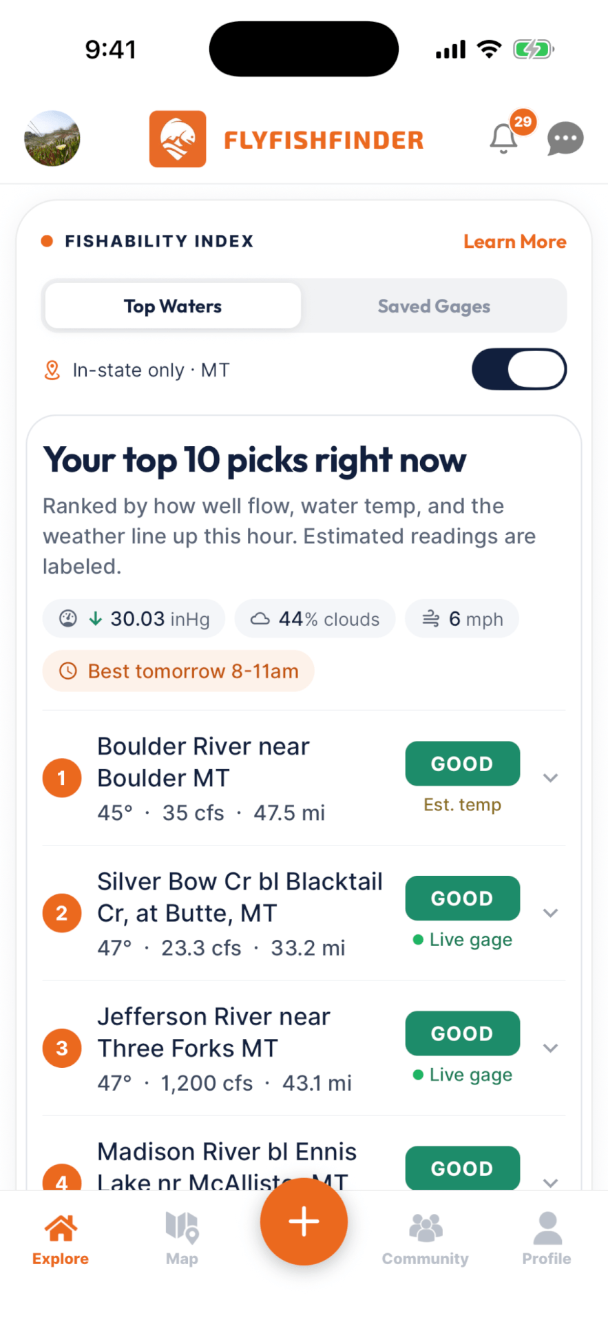
The Fishability Index scores live USGS gage data and ranks the best water near you. A flow number alone means nothing, so every river is judged against its own history for this exact week, how fast and which way it is moving, and its type: a tailwater and a spring creek are never compared head to head. Flood and drought levels are hard safety overrides.
Nobody else is telling you that. Not a raw number to interpret, a ranked top 10 for where to go today.
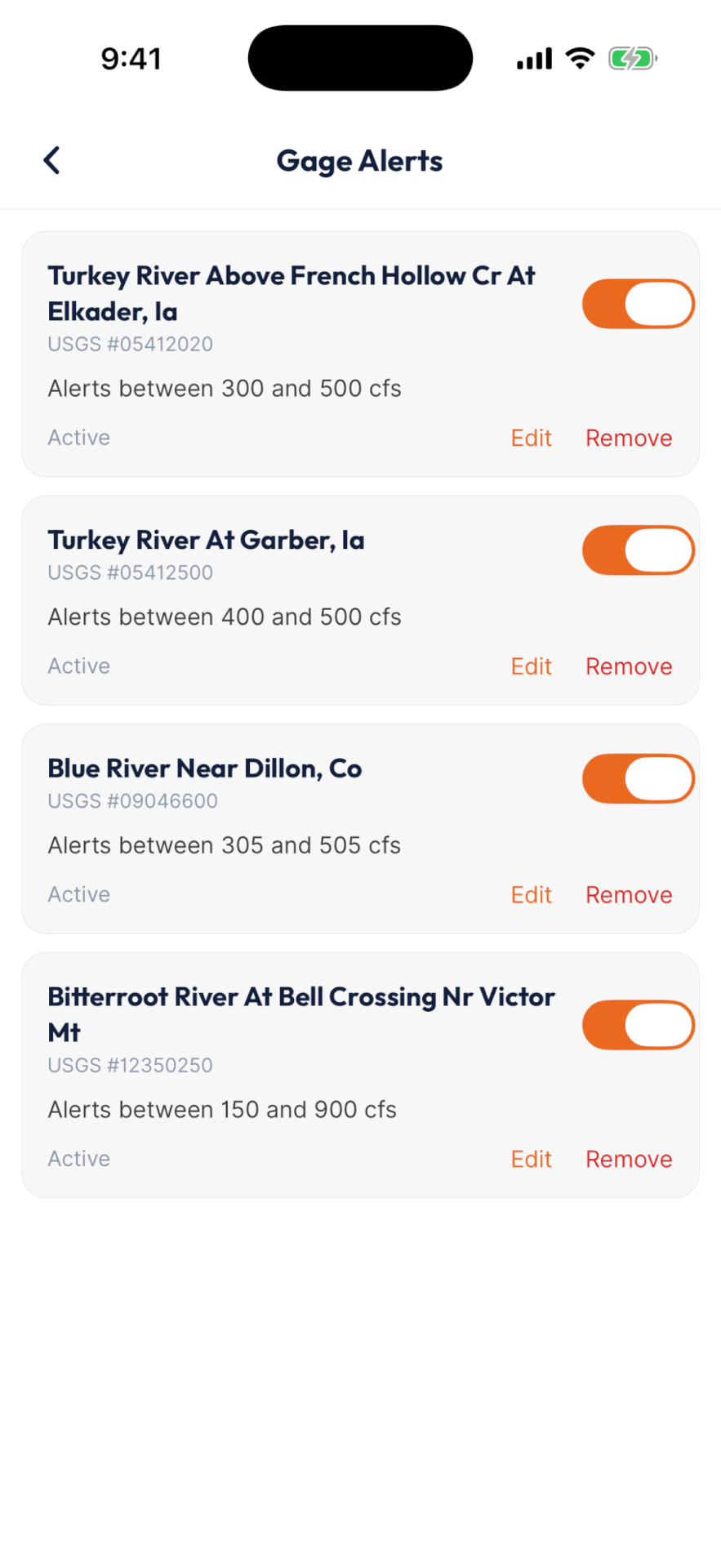
Wake up to prime flows
Set your preferred minimum and maximum CFS on any gage. When the flow lands in your range, FlyFishFinder tells you that morning, so you never miss a window on the water you care about.
Pick a range for each gage, get a morning alert when conditions hit prime, and watch the rivers that matter to you rather than a generic list.