Kadunce River
The Kadunce River near Grand Marais, Minnesota is a steep North Shore stream with brook trout and steelhead below its first falls.
- 13 miRiver length
- May–SepBest season
- 2Game fish
- 8Access points


 In the FlyFishFinder app
About the Kadunce
The Kadunce River crosses Highway 61 about 8.5 miles northeast of Grand Marais in Cook County. It flows into Lake Superior and runs about 13 miles. Nearby streams include the Little Devil Track, Cascade, Temperance and Onion rivers.
The lower 2.7 miles are steep and rocky, with riffles over boulders and rubble. In places the stream runs at the bottom of a deep canyon with vertical walls. The upper stream is flatter, with riffles split up by deep beaver ponds.
Brook trout live along the whole stream. They are abundant above the first barrier falls, which sit about half a mile above Lake Superior, and fish up to ten inches are common. Steelhead are also listed for the river, and they can only move up as far as that first barrier.
Almost all of the stream is on state or federal land. One stretch below the County Road 14 crossing is open to anglers through an easement. You can hike in from Kadunce Creek State Wayside on Highway 61, from County Road 14, or from three crossings on Forest Road 140. Check Minnesota DNR regulations for North Shore stream rules.
Fish you'll catch
Tap a fish to see every Minnesota river that holds it.
 Brook Trout
Hatching in November
What's on the water in the Northwestern Lake Superior watershed this month, and the fly to match.
All 12 hatches this year
Light bars show the season and dark bars the peak. The ringed month is this month.
Tips for fishing the Kadunce
-
Start at the wayside
Kadunce Creek State Wayside on Highway 61 is the easy way in. Expect a hike up into the canyon.
-
Fish above the first falls
Brook trout are abundant above the barrier falls. Plan on that part of the stream.
-
Try the beaver ponds
The flatter upper stream has deep ponds split by short riffles. Fish the riffles and the pond edges.
-
Respect the easement
Most of the stream is public land but the County Road 14 stretch is an easement. Stay on it.
-
Download Offline Maps
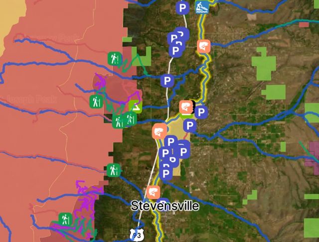
Cell service is thin up here. The FlyFishFinder app has Offline Maps and mapped access points for the Kadunce.
Every access point on the Kadunce, in your pocket.
- 8 mapped access points, with parking and put-ins
- Today's Fishability score, so you fish the day that lines up
- Bite forecast for the days ahead
- Offline Maps for backcountry trips with confidence
Rivers near the Kadunce
Kadunce River FAQ
When is the best time to fly fish the Kadunce River?
Summer and fall are popular for the brook trout. Steelhead come in from Lake Superior in spring and fall. Check Minnesota DNR regulations for open seasons.
Where can I fly fish the Kadunce River near Grand Marais?
Start at Kadunce Creek State Wayside on Highway 61 and hike up. Other access is at the County Road 14 crossing and three crossings of Forest Road 140.
Can you wade the Kadunce River?
Yes. It is a small stream. The lower canyon is steep and rocky, so take care with footing.
What flies work on the Kadunce River?
Small dries like an Elk Hair Caddis and Parachute Adams catch brook trout, and a Pheasant Tail covers the nymph side. Open the FlyFishFinder app for what is hatching and working today.
What fish are in the Kadunce River?
Brook trout and steelhead.
Are there special rules on the Kadunce River?
Yes. Lake Superior tributaries have their own rules. Check the current Minnesota DNR regulations before you go.