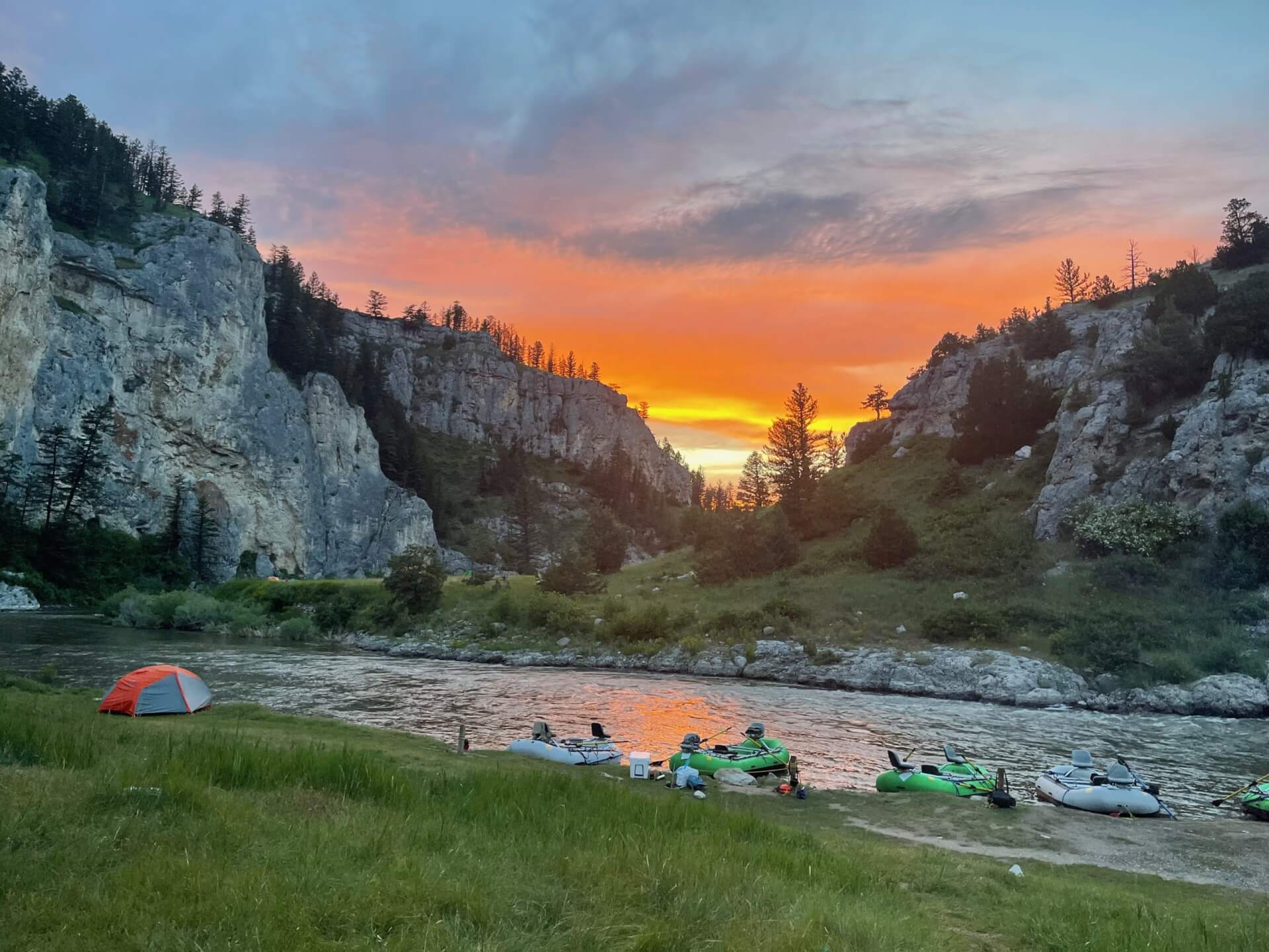
Clarks Fork Yellowstone River
The Clarks Fork Yellowstone is a Gold Medal freestone river that runs from Cooke City through Wyoming and back into Montana near Bridger.
- 195 miRiver length
- 11Game fish
- 61Access points


 In the FlyFishFinder app
About the Clarks Fork Yellowstone
The Clarks Fork of the Yellowstone starts near Cooke City, Montana, and cuts through the Absaroka Mountains. It dips into Wyoming and the Shoshone National Forest before coming back into Montana and running toward Laurel and the Yellowstone River. It is a freestone river, so it runs from tight, fast water in the mountains to wider, winding stretches downstream.
Brown trout, rainbow trout, brook trout and Yellowstone cutthroat all live here, along with mountain whitefish and smallmouth bass in the lower river. It carries a Gold Medal designation, and the Wyoming reach is a Yellow Ribbon stream.
The Chief Joseph Highway runs beside much of the upper river with plenty of pull-offs and trailheads. The Clarks Fork Canyon is rugged and scenic water that rewards anglers willing to walk. Lower down, the river opens up and floating becomes more practical when flows allow.
Big bugs are the story in summer. Salmonflies, golden stones and hoppers all show up on this river, and there are good caddis and mayfly hatches around them. Runoff can blow the river out in early summer, so plan around snowmelt.
Fishing rules differ between Montana and Wyoming, so check each state's current regulations for the stretch you plan to fish.
Clarks Fork Yellowstone River near Belfry, MT
Is the Clarks Fork Yellowstone fishing today?
See today's top 10 rivers near you, free. Go Premium to score the Clarks Fork Yellowstone, or any gage, on demand.
Nearby gages
- Rock Creek near Red Lodge, MT8.1 mi away Not reporting USGS 06209500
- W Rosebud Cr at Emerald Lk Campground near Roscoe27.6 mi away Not reporting USGS 06204070
- West Rosebud Creek near Roscoe, MT28.8 mi away Not reporting USGS 06204050
- Stillwater River near Absarokee, MT31.6 mi away Not reporting USGS 06205000
- White Horse Canal near Silesia, MT32.1 mi away Not reporting USGS 06208790
- Shoshone River near Lovell, WY40.6 mi away Not reporting USGS 06285100
- Soda Butte Cr at Park Bndry at Silver Gate41.4 mi away Not reporting USGS 06187915
- North Fork Shoshone River at Wapiti, WY46.2 mi away Not reporting USGS 06279940
No gages that close. Try a wider radius.
See every gage on the map and today's top 10 rivers in the free appData from the U.S. Geological Survey. Recent readings are provisional and may be revised.
Fish you'll catch
Tap a fish to see every Montana river that holds it.
 Brown Trout
 Brook Trout
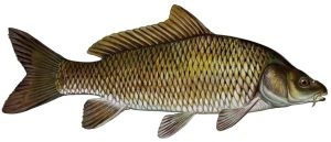 Common Carp
16 other species
Hatching in November
What's on the water in the Upper Yellowstone watershed this month, and the fly to match.
All 11 hatches this year
Light bars show the season and dark bars the peak. The ringed month is this month.
Tips for fishing the Clarks Fork Yellowstone
-
Plan around runoff
Snowmelt from the Beartooths can muddy the river for weeks in early summer. Wait for it to drop and clear before you plan a trip.
-
Fish the highway pull-offs first
The upper river along the Chief Joseph Highway has easy access and a lot of water. Park, walk a few hundred yards and you will leave most of the crowds behind.
-
Throw big bugs in summer
Stonefly patterns, Chernobyl Ants and hopper imitations are local staples. Drop a nymph under them to cover more fish.
-
Cross the state line carefully
The river passes through Montana and Wyoming. Licenses and rules differ, so know which side you are on before you fish.
-
Map your access
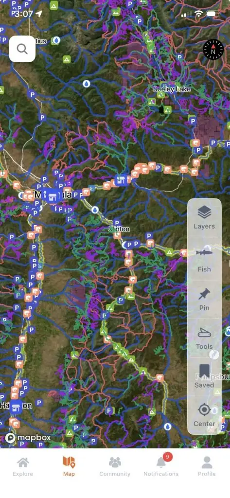
The FlyFishFinder app maps public access points along the Clarks Fork so you can see where the river is open to you and where it is not.
Every access point on the Clarks Fork Yellowstone, in your pocket.
- 61 mapped access points, with parking and put-ins
- Today's Fishability score, so you fish the day that lines up
- 7-day flow and water-temp trends for every gauge on the river
Rivers near the Clarks Fork Yellowstone
Clarks Fork Yellowstone River FAQ
What is the best time to fly fish the Clarks Fork of the Yellowstone?
Late summer and early fall are popular once runoff drops and the river clears. Check the state's current regulations and local flows before you go.
Where can I fish the Clarks Fork of the Yellowstone?
The upper river near Cooke City and along the Chief Joseph Highway has the most pull-offs. The Clarks Fork Canyon and the lower river near Bridger and Edgar offer other options.
Can you wade the Clarks Fork of the Yellowstone?
Yes. Most of the river can be waded, especially at lower summer flows. The canyon needs care because the current and rocks are rough.
What flies work on the Clarks Fork of the Yellowstone?
Chernobyl Ants, Elk Hair Caddis and hopper patterns are favorites in summer. Stonefly nymphs and attractor dries also work. Open the FlyFishFinder app to see what is hatching and working today.
What fish are in the Clarks Fork of the Yellowstone?
Brown trout, rainbow trout, brook trout, Yellowstone cutthroat and mountain whitefish live here. Smallmouth bass are found in the lower river.
Are there special rules on the Clarks Fork of the Yellowstone?
Yes. The river crosses between Montana and Wyoming and each state has its own rules. Check current regulations for the exact section you plan to fish.