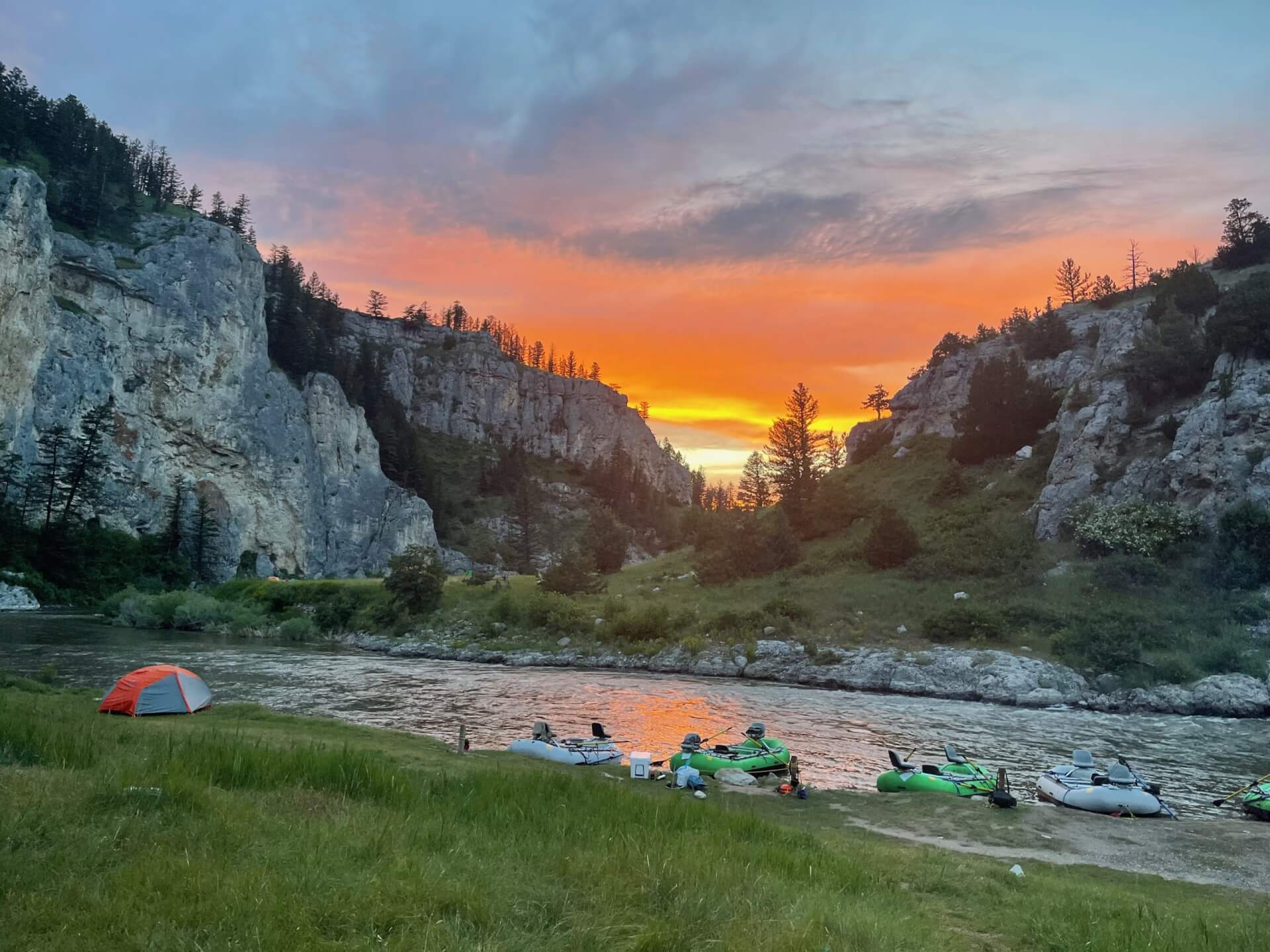
Middle Fork American River
Fly fishing the Middle Fork American River in California from Oxbow Reservoir to Drivers Flat, with wild brown and rainbow trout.
- 81 miRiver length
- 2Game fish
- 21Access points


 In the FlyFishFinder app
About the Middle Fork American
The Middle Fork American runs through deep canyons east of Foresthill. Oxbow to Drivers Flat is a top trout stretch in California. Deep pools, pocket water and seams hold wild fish. Browns run 14 to 18 inches and some top 20.
The fish are brown trout and rainbow trout. Access to Oxbow Reservoir is off Mosquito Ridge Road outside Foresthill. The Quarry Trail and Mammoth Bar are known spots. The canyon is steep and the rapids are serious, so use care.
Summer and fall are the best seasons. Hatches include midges, blue-winged olives, March browns, skwalas, pale morning duns, golden stoneflies and salmonflies. Hopper season and the October caddis finish the year. Super Stimulators, Chubby Chernobyls, Morrish Hoppers and Super Wulffs are favorites.
Pilot Creek, Canyon Creek and Gerle Creek are nearby.
Check the current California regulations.
Gages near Middle Fork American River
Is the Middle Fork American fishing today?
See today's top 10 rivers near you, free. Go Premium to score the Middle Fork American, or any gage, on demand.
Other gages nearby
- Truckee River at Tahoe City, CA29.1 mi away Not reporting USGS 10337500
- Truckee River near Truckee, CA30.2 mi away Not reporting USGS 10338000
- Deer Creek near Smartsville, CA35.0 mi away Not reporting USGS 11418500
- Sagehen Creek near Truckee, CA35.4 mi away Not reporting USGS 10343500
- Truckee River below Martis Creek near Truckee, CA36.2 mi away Not reporting USGS 10339410
- Echo Creek near Meyers, CA36.5 mi away Not reporting USGS 10336609
- Prosser Creek below Prosser Creek Dam near Truckee, CA36.6 mi away Not reporting USGS 10340500
- North Yuba River below Goodyears Bar, CA36.7 mi away Not reporting USGS 11413000
No gages that close. Try a wider radius.
See every gage on the map and today's top 10 rivers in the free appData from the U.S. Geological Survey. Recent readings are provisional and may be revised.
Fish you'll catch
Tap a fish to see every California river that holds it.
 Brown Trout
Hatching in November
What's on the water in the Lower Sacramento watershed this month, and the fly to match.
All 10 hatches this year
Light bars show the season and dark bars the peak. The ringed month is this month.
Tips for fishing the Middle Fork American
-
Use big dries in summer
Stimulators and hoppers pull good fish up.
-
Try streamers
Streamers draw the biggest browns.
-
Respect the canyon
Rapids and steep banks need care.
-
Start at Oxbow
Access is off Mosquito Ridge Road.
-
Check flows
Releases change the river.
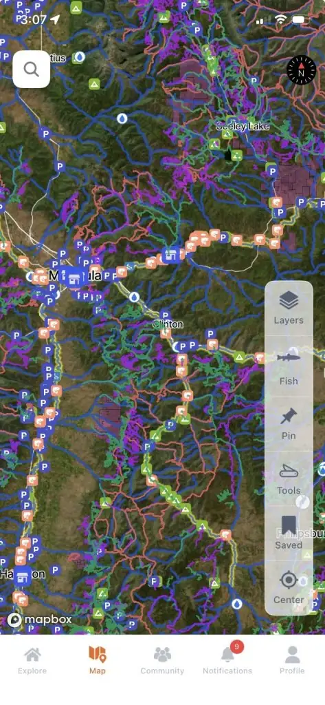
Every access point on the Middle Fork American, in your pocket.
- 21 mapped access points, with parking and put-ins
- Today's Fishability score, so you fish the day that lines up
- Bite forecast for the days ahead
Rivers near the Middle Fork American
Middle Fork American River FAQ
What is the best time to fly fish the Middle Fork American River?
Summer and fall.
Where can I fly fish the Middle Fork American River?
Oxbow Reservoir to Drivers Flat. The app map shows mapped access points along the river.
Can you wade the Middle Fork American River?
Yes in places. The canyon is steep.
What flies work on the Middle Fork American River?
Super Stimulators, Chubby Chernobyls, Morrish Hoppers and Super Wulffs. The FlyFishFinder app shows what is hatching and working on the Middle Fork American today.
What fish are in the Middle Fork American River?
Brown trout and rainbow trout.
Are there special rules on the Middle Fork American River?
Check the current California regulations before you go.