Price River aka Lower Fish Creek
The Price River and Lower Fish Creek near Scofield, Utah is a Gold Medal tailwater with browns, rainbows, cutthroat and tiger trout.
- 196 miRiver length
- Late JunBest season
- 4Game fish
- 43Access points


 In the FlyFishFinder app
About Price River aka Lower Fish Creek
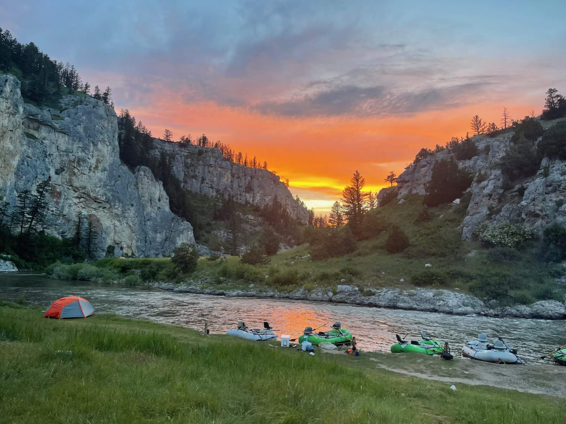
Lower Fish Creek is the tailwater below Scofield Reservoir in central Utah. It joins the White River near Colton to form the Price River. It runs through a steep, scenic canyon, and the water stays cold all year.
The Utah Division of Wildlife Resources lists it as a Blue Ribbon fishery known for brown trout. Rainbow trout, cutthroat trout and tiger trout live here. Stoneflies and midges are important insects. Big rubber legs patterns work in the canyon, and blue-winged olives show up on cloudy days.
Access is limited. The upper stretch just below the dam is closed to public access. The Lower Fish Creek Wildlife Management Area gives public access to about 5.5 miles of river, usually from Highway 6 at the Colton Bridge. The management area is often closed in winter and spring.
Check Utah DWR rules, the WMA map and any closures before you go.
See the month-by-month Price River aka Lower Fish Creek hatch chart →
Price River at Woodside, UT
Is Price River aka Lower Fish Creek fishing today?
See today's top 10 rivers near you, free. Go Premium to score Price River aka Lower Fish Creek, or any gage, on demand.
Nearby gages
- Green River at Green River, UT41.8 mi away Not reporting USGS 09315000
- San Rafael River near Green River, UT44.5 mi away Not reporting USGS 09328500
- Ephraim Tunnel near Ephraim, UT44.7 mi away Not reporting USGS 09319000
- Strawberry River at Pinnacles near Fruitland, UT45.6 mi away Not reporting USGS 09285900
- Strawberry River near Duchesne, UT47.1 mi away Not reporting USGS 09288180
- Muddy Creek near Emery, UT47.8 mi away Not reporting USGS 09330500
No gages that close. Try a wider radius.
See every gage on the map and today's top 10 rivers in the free appData from the U.S. Geological Survey. Recent readings are provisional and may be revised.
Fish you'll catch
Tap a fish to see every Utah river that holds it.

Hatching in November
What's on the water in the Lower Green watershed this month, and the fly to match.
All 11 hatches this year
Light bars show the season and dark bars the peak. The ringed month is this month.
Tips for fishing Price River aka Lower Fish Creek
-
Know where public access starts
The area just below Scofield Dam is closed. Use the Lower Fish Creek WMA.
-
Plan for late June to September
After runoff, the river is more fishable.
-
Fish streamers in fall
Brown trout get aggressive later in the year.
-
Look for bigger pools
Winter flows can be low. Fish tend to gather in larger pools.
-
Check closures
The WMA is often closed in winter and spring. Confirm dates with Utah DWR.
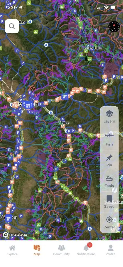
Every access point on Price River aka Lower Fish Creek, in your pocket.
- 43 mapped access points, with parking and put-ins
- Today's Fishability score, so you fish the day that lines up
- 7-day flow and water-temp trends for every gauge on the river
Rivers near Price River aka Lower Fish Creek
Price River aka Lower Fish Creek FAQ
Where is Lower Fish Creek in Utah?
It is below Scofield Reservoir in central Utah and joins the White River near Colton to form the Price River.
Can you wade the Price River below Scofield?
Yes. Most anglers wade the WMA stretch, but the canyon is steep and rough in places.
Is Lower Fish Creek good for brown trout?
Yes. Utah DWR calls it a Blue Ribbon fishery known for brown trout.
What flies work on the Price River?
Pat's Rubber Legs, Pheasant Tails, midges and blue-winged olives are good classics. For what is hatching and working today, check the FlyFishFinder app.
What fish are in the Price River?
The river holds brown trout, rainbow trout, cutthroat trout and tiger trout.
Are there special rules on Lower Fish Creek?
Yes. Public access is limited and closures apply. Check current Utah DWR regulations and WMA rules.