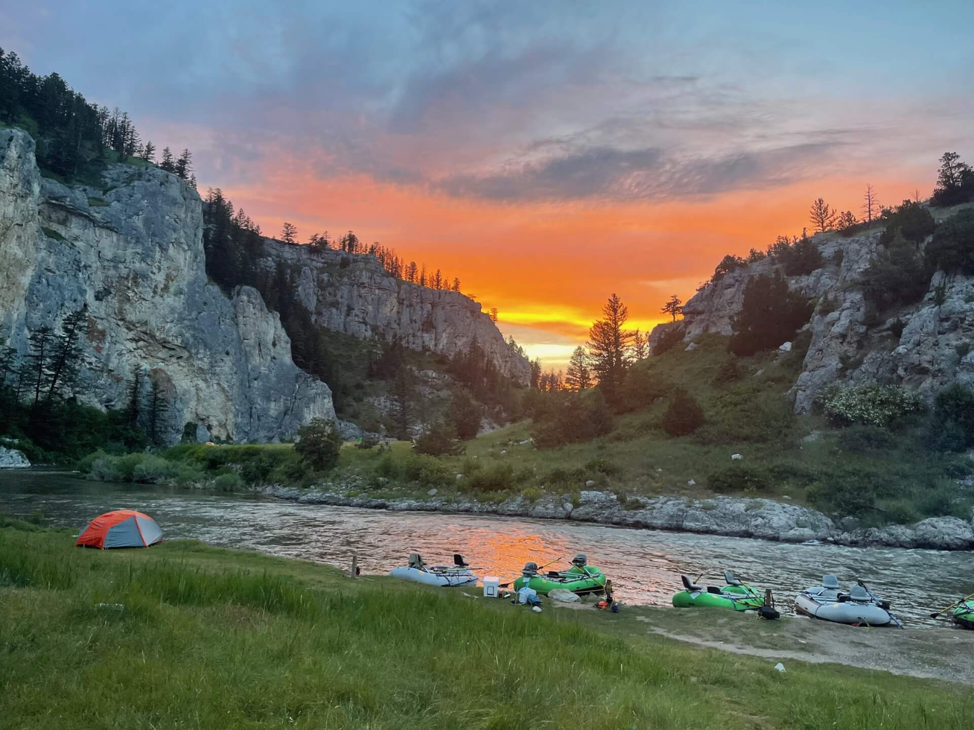
Rogue River
A long Southern Oregon river famous for steelhead, from the tailwater near Shady Cove to the wild canyon on the way to the coast.
- 297 miRiver length
- 4Game fish
- 162Access points
 In the FlyFishFinder app
Rogue River
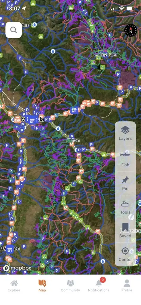
Every access point, mapped
Today's top 10 rivers near you
Live flows from nearby gages
Today's rating
Premium
Open in the app
About the Rogue
The Rogue starts near Crater Lake and runs west through Southern Oregon to the Pacific at Gold Beach. It is one of the best known steelhead rivers in the country.
The upper river below Lost Creek Lake near Shady Cove is a cold tailwater. It holds trout year round and steelhead from summer into winter. Highways and parks make this stretch easy to reach.
The middle river runs past Grants Pass. Below that, the Wild and Scenic section cuts a deep canyon that you can only see on a multi day float or on foot along the Rogue River Trail. Floating that section needs a permit in the main season.
The lower river near the coast is known for half pounders, small steelhead that come back in late summer and fall. They are lots of fun on a light rod.
Rogue River at Grants Pass, OR
Is the Rogue fishing today?
See today's top 10 rivers near you, free. Go Premium to score the Rogue, or any gage, on demand.
Nearby gages
- West Fork Cow Creek near Glendale, OR21.9 mi away Not reporting USGS 14309500
- South Umpqua River at Tiller, OR24.6 mi away Not reporting USGS 14308000
- South Umpqua River near Brockway, OR34.7 mi away Not reporting USGS 14312000
- Sucker Creek below Little Grayback Creek, near Holland, OR35.7 mi away Not reporting USGS 14375100
- Bear Creek below Ashland Creek at Ashland, OR39.4 mi away Not reporting USGS 14354200
- Elliott Creek near Copper, OR44.5 mi away Not reporting USGS 14361600
No gages that close. Try a wider radius.
See every gage on the map and today's top 10 rivers in the free appData from the U.S. Geological Survey. Recent readings are provisional and may be revised.
Fish you'll catch
Tap a fish to see every Oregon river that holds it.

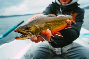
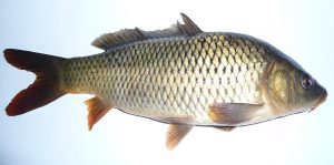
Hatching in November
What's on the water in the Southern Oregon Coastal watershed this month, and the fly to match.
All 10 hatches this year
Light bars show the season and dark bars the peak. The ringed month is this month.
Tips for fishing the Rogue
-
Start below Lost Creek Lake
The upper river near Shady Cove is the easiest trout and steelhead water to reach, with cold flows all year.
-
Swing flies for steelhead
A swung fly through long runs is the classic way to fish the Rogue. Cover water and keep moving.
-
Try for half pounders
In late summer and fall, small steelhead fill the lower river. A 5 or 6 weight makes them a blast.
-
Plan ahead for the canyon
The Wild and Scenic section needs a float permit in season. Book early if you want a multi day trip.
-
Check the dam flows
Releases from Lost Creek Lake change the upper river. Look them up before you wade.
Every access point on the Rogue, in your pocket.
- 162 mapped access points, with parking and put-ins
- Today's Fishability score, so you fish the day that lines up
- 7-day flow and water-temp trends for every gauge on the river
Rivers near the Rogue
Rogue River FAQ
When is steelhead season on the Rogue?
Summer steelhead arrive in summer and fall, and winter steelhead run from about December into spring. The upper river has fish for much of the year.
What are half pounders?
Young steelhead that come back to the lower Rogue in late summer and fall after a short time at sea. They are usually 12 to 18 inches.
Do you need a permit to float the Rogue?
Yes, for the Wild and Scenic section during the main season. Check with the Bureau of Land Management before your trip.
Where can you wade the Rogue?
The upper river near Shady Cove and many parks along the middle river have good bank access. Check dam flows first.
What flies work on the Rogue?
Swung steelhead flies, small nymphs and egg patterns for steelhead, and caddis and mayfly patterns for trout.
Are there trout in the Rogue River?
Yes. The upper river below Lost Creek Lake has trout all year along with steelhead.