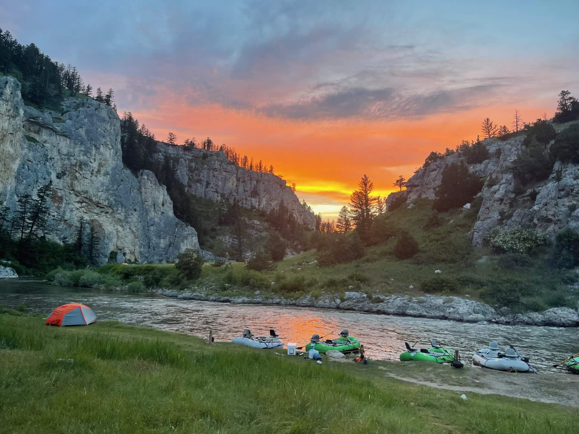
Cache la Poudre River
Fly fishing the Cache la Poudre River near Fort Collins means canyon pocket water, wild browns and rainbows, and easy roadside wade access.
- 168 miRiver length
- Jul–SepBest season
- 6Game fish
- 159Access points


 In the FlyFishFinder app
About the Cache la Poudre
The Cache la Poudre River is a freestone river that drops out of the mountains west of Fort Collins, Colorado. It is Colorado's only designated Wild and Scenic River. Highway 14 follows it through a steep granite canyon, with pull-offs, campgrounds and picnic areas all the way up. The full river runs about 168 miles.
Brown trout, rainbow trout and cutthroat trout live here, along with mountain whitefish. Lower down you will also find smallmouth bass and common carp. The water is continuous pocket water, boulder runs and deep pools, so it rewards short, accurate casts and good wading.
The Poudre is best known for summer fishing once runoff drops. Runoff in May and June keeps the river high and risky. After that, the canyon fishes well through September. Salmonflies, golden stones, pale morning duns, caddis and hoppers are the big names. Midges and blue-winged olives carry the cooler months.
Some stretches have special rules, including fly and lure only water and release requirements. Mishawaka, Picnic Rock and Gateway Natural Area are well known access areas. Always check the current Colorado Parks and Wildlife regulations for the exact section.
Cache La Poudre River at Fort Collins, CO
Is the Cache la Poudre fishing today?
See today's top 10 rivers near you, free. Go Premium to score the Cache la Poudre, or any gage, on demand.
Nearby gages
- Joe Wright Creek below Joe Wright Reservoir, CO30.0 mi away Not reporting USGS 06746110
- Joe Wright Creek above Joe Wright Reservoir, CO31.1 mi away Not reporting USGS 06746095
- Left Hand Creek at Hover Road near Longmont, CO32.1 mi away Not reporting USGS 06724970
- Colorado River below Baker Gulch near Grand Lake, CO34.5 mi away Not reporting USGS 09010500
- Fourmile Canyon Creek near Sunshine, CO36.3 mi away Not reporting USGS 06730160
- Colorado River below Shadow Mountain Reservoir, CO38.7 mi away Not reporting USGS 09015000
- South Platte River at Fort Lupton, CO40.8 mi away Not reporting USGS 06721000
- Colorado River below Lake Granby, CO42.7 mi away Not reporting USGS 09019000
No gages that close. Try a wider radius.
See every gage on the map and today's top 10 rivers in the free appData from the U.S. Geological Survey. Recent readings are provisional and may be revised.
Fish you'll catch
Tap a fish to see every Colorado river that holds it.

Hatching in November
What's on the water in the South Platte watershed this month, and the fly to match.
All 11 hatches this year
Light bars show the season and dark bars the peak. The ringed month is this month.
Tips for fishing the Cache la Poudre
-
Skip runoff
The Poudre runs high and cold through May and early June. Wait for the water to drop and clear before you plan a trip.
-
Fish pocket water slowly
Work the soft water behind boulders and along seams. Short casts and good drifts beat long ones.
-
Use the roadside pull-offs
Highway 14 has lots of pull-offs. Walk a few hundred yards from the car to get away from the crowd.
-
Check the section rules
Special rules change from stretch to stretch. Read the Colorado Parks and Wildlife map for the water you plan to fish.
-
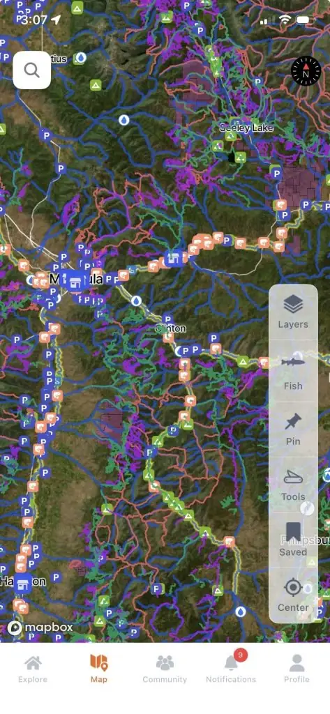
Plan with the app map
The FlyFishFinder app maps public access points along the Poudre and the live gage, so you can see how high the water is before you drive up.
Every access point on the Cache la Poudre, in your pocket.
- 159 mapped access points, with parking and put-ins
- Today's Fishability score, so you fish the day that lines up
- 7-day flow and water-temp trends for every gauge on the river
Rivers near the Cache la Poudre
Cache la Poudre River FAQ
When is the best time to fish the Cache la Poudre River?
July through September is the main window once runoff has dropped. Spring runoff makes the canyon dangerous, so check flows before you go.
Where can I fish the Cache la Poudre near Fort Collins?
The lower canyon and Gateway Natural Area are the closest. Mishawaka and Picnic Rock are well known wade areas, and Highway 14 has pull-offs farther up the canyon.
Can you wade the Cache la Poudre?
Yes, once flows drop. Expect boulders, fast current and slick rock, so wear studded boots and use a staff.
What flies work on the Cache la Poudre?
Elk Hair Caddis, Pheasant Tail nymphs and Woolly Buggers cover a lot of water. Salmonflies, golden stones and hoppers matter in summer. The FlyFishFinder app shows what is hatching and working today.
What fish are in the Cache la Poudre River?
Brown trout, rainbow trout, cutthroat trout and mountain whitefish are here, with smallmouth bass and common carp in lower water.
Are there special regulations on the Cache la Poudre?
Yes, some stretches are fly and lure only with release rules. Check the current Colorado Parks and Wildlife regulations for the exact section.